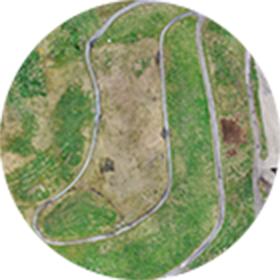


VISUAL
Capture high-resolution, low distortion aerial imagery
VIDEO
Capture and live stream high definition video to multiple devices on the ground
THERMAL
Track the relative surface temperature of land and objects
MULTISPECTRAL
Capture near-infrared radiation and ultraviolet light invisible to the human eye
HYPERSPECTRAL
Capture spectral information to identify minerals, vegetation and other materials
LiDAR
Collect high quality, accurate elevation data of natural and man-made objects